Track at the western edge of Pyle on a Wales Coast Path alternative route
Introduction
The photograph on this page of Track at the western edge of Pyle on a Wales Coast Path alternative route by eswales as part of the Geograph project.
The Geograph project started in 2005 with the aim of publishing, organising and preserving representative images for every square kilometre of Great Britain, Ireland and the Isle of Man.

There are currently over 7.5m images from over 14,400 individuals and you can help contribute to the project by visiting https://www.geograph.org.uk
Track at the western edge of Pyle on a Wales Coast Path alternative route
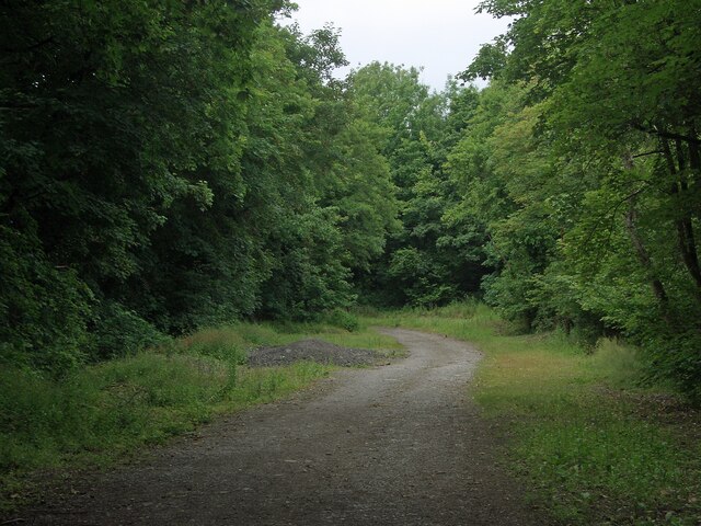
Image: © eswales Taken: 15 Jun 2022
On the Wales Coast Path’s alternative route between the south of Kenfig Burrows and Margam which passes through Pyle. See Image
Images are licensed for reuse under creativecommons.org/licenses/by-sa/2.0
Image Location
Latitude
51.532524
Longitude
-3.697973