Dwellings in Kersey Tye
Introduction
The photograph on this page of Dwellings in Kersey Tye by David Kemp as part of the Geograph project.
The Geograph project started in 2005 with the aim of publishing, organising and preserving representative images for every square kilometre of Great Britain, Ireland and the Isle of Man.

There are currently over 7.5m images from over 14,400 individuals and you can help contribute to the project by visiting https://www.geograph.org.uk
Dwellings in Kersey Tye
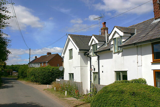
Image: © David Kemp Taken: 9 Jul 2022
Kersey Tye is one of four hamlets in the parish of Kersey. The other three are Kersey Upland, Wicker Street Green and William’s Green.
Images are licensed for reuse under creativecommons.org/licenses/by-sa/2.0
Image Location
Latitude
52.050566
Longitude
0.89279