Sharp Bend on the B600 Road
Introduction
The photograph on this page of Sharp Bend on the B600 Road by Jonathan Clitheroe as part of the Geograph project.
The Geograph project started in 2005 with the aim of publishing, organising and preserving representative images for every square kilometre of Great Britain, Ireland and the Isle of Man.

There are currently over 7.5m images from over 14,400 individuals and you can help contribute to the project by visiting https://www.geograph.org.uk
Sharp Bend on the B600 Road
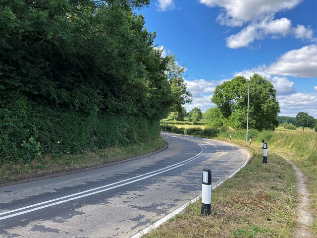
Image: © Jonathan Clitheroe Taken: 5 Jul 2022
Pictured close to Moorgreen Reservoir which is just out of picture to the right.
Images are licensed for reuse under creativecommons.org/licenses/by-sa/2.0
Image Location
Latitude
53.034877
Longitude
-1.286246