Pen-y-garn houses
Introduction
The photograph on this page of Pen-y-garn houses by John Lucas as part of the Geograph project.
The Geograph project started in 2005 with the aim of publishing, organising and preserving representative images for every square kilometre of Great Britain, Ireland and the Isle of Man.

There are currently over 7.5m images from over 14,400 individuals and you can help contribute to the project by visiting https://www.geograph.org.uk
Pen-y-garn houses
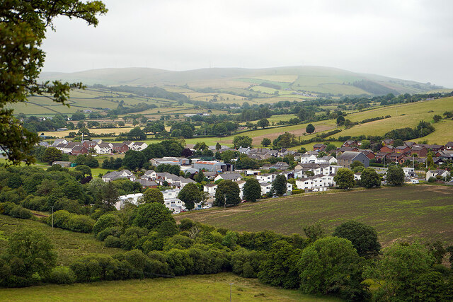
Image: © John Lucas Taken: 5 Jul 2022
North of Bow Street. On the right is Capel y Garn, a Grade II listed Presbyterian Church (services in Welsh).
Images are licensed for reuse under creativecommons.org/licenses/by-sa/2.0
Image Location
Latitude
52.449302
Longitude
-4.02425