Eilean Shona
Introduction
The photograph on this page of Eilean Shona by Richard Webb as part of the Geograph project.
The Geograph project started in 2005 with the aim of publishing, organising and preserving representative images for every square kilometre of Great Britain, Ireland and the Isle of Man.

There are currently over 7.5m images from over 14,400 individuals and you can help contribute to the project by visiting https://www.geograph.org.uk
Eilean Shona
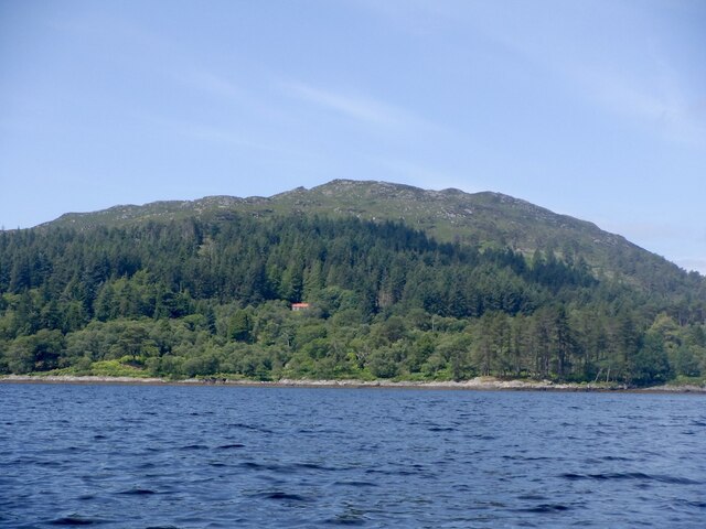
Image: © Richard Webb Taken: 5 Jul 2022
A very attractive tidal island seen from the South Channel of Loch Moidart. Taken before returning along the shore of Shona Beag (same island, different estate) to avoid the fast tidal stream between here and Riska on the ebb.
Images are licensed for reuse under creativecommons.org/licenses/by-sa/2.0
Image Location
Latitude
56.793777
Longitude
-5.841663