Rothschild Road, looking southwest
Introduction
The photograph on this page of Rothschild Road, looking southwest by Alan Murray-Rust as part of the Geograph project.
The Geograph project started in 2005 with the aim of publishing, organising and preserving representative images for every square kilometre of Great Britain, Ireland and the Isle of Man.

There are currently over 7.5m images from over 14,400 individuals and you can help contribute to the project by visiting https://www.geograph.org.uk
Rothschild Road, looking southwest
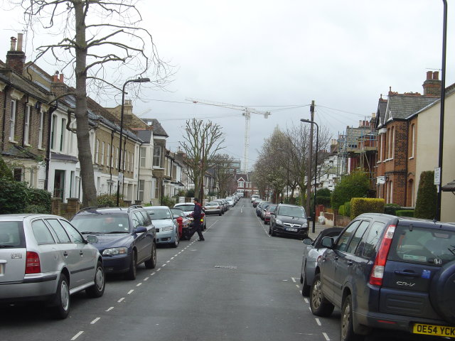
Image: © Alan Murray-Rust Taken: 8 Mar 2008
This area is known as, and addressed as, Chiswick Park, despite being labelled South Acton on the map. Although clearly laid out as a single estate, there is a considerable variety in house designs which means that lots were clearly allocated piecemeal to various builders.
Images are licensed for reuse under creativecommons.org/licenses/by-sa/2.0
Image Location
Latitude
51.497612
Longitude
-0.269228