Trimley churches and churchyard
Introduction
The photograph on this page of Trimley churches and churchyard by Christopher Hilton as part of the Geograph project.
The Geograph project started in 2005 with the aim of publishing, organising and preserving representative images for every square kilometre of Great Britain, Ireland and the Isle of Man.

There are currently over 7.5m images from over 14,400 individuals and you can help contribute to the project by visiting https://www.geograph.org.uk
Trimley churches and churchyard
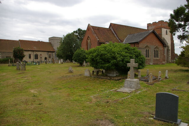
Image: © Christopher Hilton Taken: 5 Jul 2022
Trimley is divided into two parishes, each with its own church in a shared churchyard; each parish gives its name to one end of the village. St Martin's, the nearer church, is still in use, but St Mary's, the further building, is generally locked.
Images are licensed for reuse under creativecommons.org/licenses/by-sa/2.0
Image Location
Latitude
51.985132
Longitude
1.314201