Public footpath close to the Ogmore Vale Extension line west of Pyle
Introduction
The photograph on this page of Public footpath close to the Ogmore Vale Extension line west of Pyle by eswales as part of the Geograph project.
The Geograph project started in 2005 with the aim of publishing, organising and preserving representative images for every square kilometre of Great Britain, Ireland and the Isle of Man.

There are currently over 7.5m images from over 14,400 individuals and you can help contribute to the project by visiting https://www.geograph.org.uk
Public footpath close to the Ogmore Vale Extension line west of Pyle
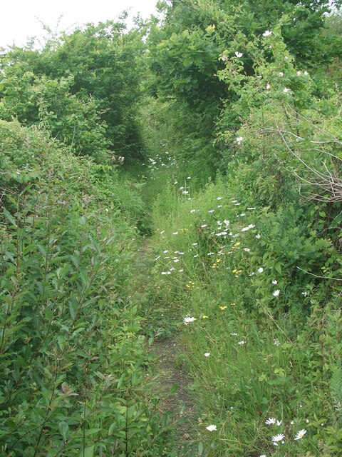
Image: © eswales Taken: 15 Jun 2022
The stretch of the path up to the bridge seen in Image], the part of it walked on the day, runs parallel to, and just a few metres to the south of, the railway, although for much of the way thick vegetation precludes views of the latter. On the day, the path in this stretch was rather overgrown in places although still perfectly walkable.
Images are licensed for reuse under creativecommons.org/licenses/by-sa/2.0
Image Location
Latitude
51.534263
Longitude
-3.708275