Carperby
Introduction
The photograph on this page of Carperby by David Dixon as part of the Geograph project.
The Geograph project started in 2005 with the aim of publishing, organising and preserving representative images for every square kilometre of Great Britain, Ireland and the Isle of Man.

There are currently over 7.5m images from over 14,400 individuals and you can help contribute to the project by visiting https://www.geograph.org.uk
Carperby
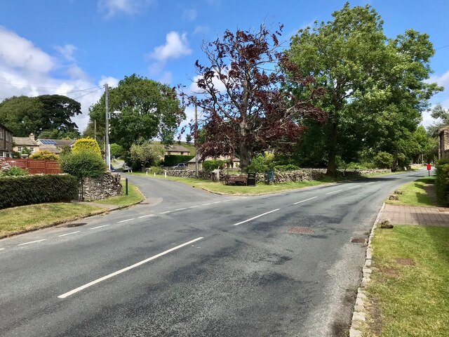
Image: © David Dixon Taken: 4 Jul 2022
Carperby is a village in the Yorkshire Dales. It lies 7 miles (11 km) west of Leyburn. The Richmond to Lancaster Turnpike was opened up through the village in 1751. Later diversions meant that the main A684 road was diverted to run through Aysgarth. The minor road through carperby is colloquially known as 'The High Road'.
Images are licensed for reuse under creativecommons.org/licenses/by-sa/2.0
Image Location


Leaflet Map data © OpenStreetMap
Latitude
54.305253
Longitude
-1.987579