Argyle Street from the Civic Centre
Introduction
The photograph on this page of Argyle Street from the Civic Centre by Z Pryce as part of the Geograph project.
The Geograph project started in 2005 with the aim of publishing, organising and preserving representative images for every square kilometre of Great Britain, Ireland and the Isle of Man.

There are currently over 7.5m images from over 14,400 individuals and you can help contribute to the project by visiting https://www.geograph.org.uk
Argyle Street from the Civic Centre
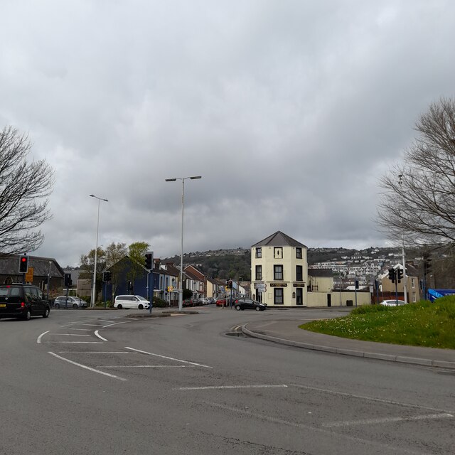
Image: © Z Pryce Taken: 13 Apr 2022
Looking across Oystermouth Road into Sandfields from the road entrance to the Civic Centre. Mount Pleasant is visible in the distance on the right on the hillside, and part of Townhill in the centre on the top of the hill.
Images are licensed for reuse under creativecommons.org/licenses/by-sa/2.0
Image Location
Latitude
51.61447
Longitude
-3.950768