Twisting section of lane at The Collwyn, Pyle
Introduction
The photograph on this page of Twisting section of lane at The Collwyn, Pyle by eswales as part of the Geograph project.
The Geograph project started in 2005 with the aim of publishing, organising and preserving representative images for every square kilometre of Great Britain, Ireland and the Isle of Man.

There are currently over 7.5m images from over 14,400 individuals and you can help contribute to the project by visiting https://www.geograph.org.uk
Twisting section of lane at The Collwyn, Pyle
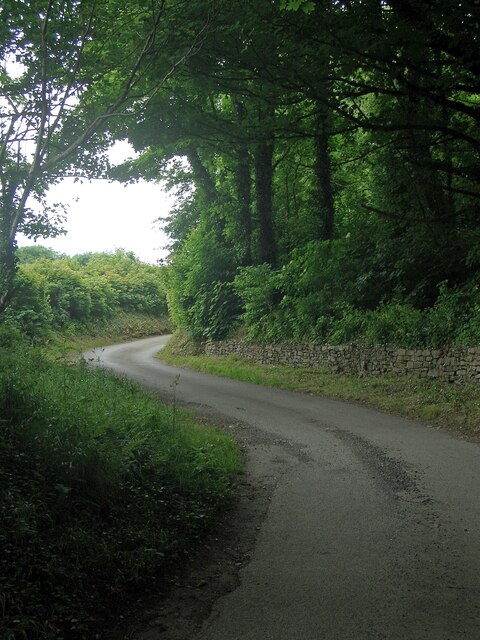
Image: © eswales Taken: 15 Jun 2022
A lane twists at the western end of the strip of broadleaf woodland at The Collwyn. The lane, which leads to a farm, is a private road along which a public footpath runs.
Images are licensed for reuse under creativecommons.org/licenses/by-sa/2.0
Image Location
Latitude
51.52785
Longitude
-3.703998