Farm lane to the west of Pyle
Introduction
The photograph on this page of Farm lane to the west of Pyle by eswales as part of the Geograph project.
The Geograph project started in 2005 with the aim of publishing, organising and preserving representative images for every square kilometre of Great Britain, Ireland and the Isle of Man.

There are currently over 7.5m images from over 14,400 individuals and you can help contribute to the project by visiting https://www.geograph.org.uk
Farm lane to the west of Pyle
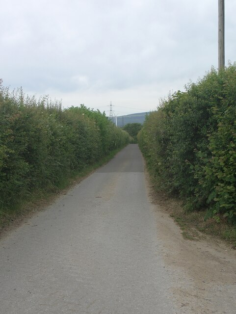
Image: © eswales Taken: 15 Jun 2022
A farm lane flanked by thick hedges heads towards Llanmihangel. The lane is a private road but a public footpath runs along it.
Images are licensed for reuse under creativecommons.org/licenses/by-sa/2.0
Image Location
Latitude
51.529989
Longitude
-3.705376