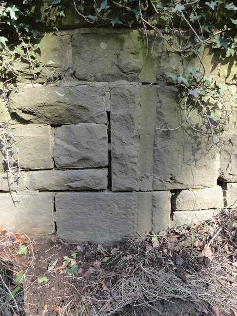
Old Bridge Marker on Hawthorns Road, Hope Mansell
Introduction
The photograph on this page of Old Bridge Marker on Hawthorns Road, Hope Mansell by Roadside Relics as part of the Geograph project.
The Geograph project started in 2005 with the aim of publishing, organising and preserving representative images for every square kilometre of Great Britain, Ireland and the Isle of Man.
There are currently over 7.5m images from over 14,400 individuals and you can help contribute to the project by visiting https://www.geograph.org.uk

Image: © Roadside Relics Taken: 26 Mar 2022
Bridge Marker in the northeast parapet of a bridge on Hawthorns Road over the disused Mitcheldean Road and Forest of Dean Junction Railway. Hope Mansell parish. Inscribed G.W.R. possibly above S D C. The bridge is on a railway line built c.1874 by different contractors for the Mitcheldean Road and Forest of Dean Junction Railway Company. This company was absorbed by the GWR in 1880, who completed the line soon after. The stone is thought to mark the Great Western Railway's ownership of, or responsibility for, the bridge. The vertical groove next to the stone is unexplained but might show where a bridge weight plate, e.g. https://www.geograph.org.uk/photo/6463518, was fixed to the parapet. Milestone Society National ID: HF_HOPEMA01br

