Starveall Farm
Introduction
The photograph on this page of Starveall Farm by Andrew Smith as part of the Geograph project.
The Geograph project started in 2005 with the aim of publishing, organising and preserving representative images for every square kilometre of Great Britain, Ireland and the Isle of Man.

There are currently over 7.5m images from over 14,400 individuals and you can help contribute to the project by visiting https://www.geograph.org.uk
Starveall Farm
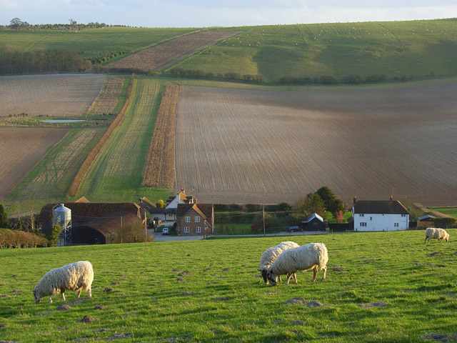
Image: © Andrew Smith Taken: 2 Mar 2008
Nestles delightfully in Moulsford Bottom. Starveall is a common name for farms in southern England but I don't know its derivation. I hope it's not as sinister as it sounds.
Images are licensed for reuse under creativecommons.org/licenses/by-sa/2.0
Image Location
Latitude
51.547502
Longitude
-1.176498