Part of Stifford Clays Road, Orsett
Introduction
The photograph on this page of Part of Stifford Clays Road, Orsett by Robert Edwards as part of the Geograph project.
The Geograph project started in 2005 with the aim of publishing, organising and preserving representative images for every square kilometre of Great Britain, Ireland and the Isle of Man.

There are currently over 7.5m images from over 14,400 individuals and you can help contribute to the project by visiting https://www.geograph.org.uk
Part of Stifford Clays Road, Orsett
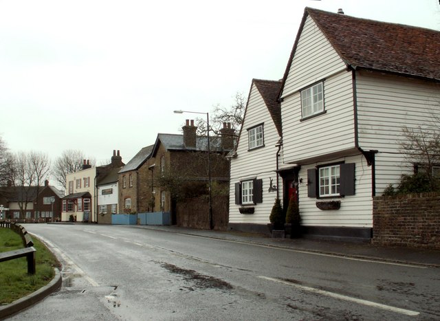
Image: © Robert Edwards Taken: 10 Mar 2008
These are just a few of the many interesting old buildings in Orsett village. This picture was taken from the entrance to Whitfields Farm.
Images are licensed for reuse under creativecommons.org/licenses/by-sa/2.0
Image Location


Leaflet Map data © OpenStreetMap
Latitude
51.508125
Longitude
0.351267