Stile west of Pyle on an alternative stage of the Wales Coast Path
Introduction
The photograph on this page of Stile west of Pyle on an alternative stage of the Wales Coast Path by eswales as part of the Geograph project.
The Geograph project started in 2005 with the aim of publishing, organising and preserving representative images for every square kilometre of Great Britain, Ireland and the Isle of Man.

There are currently over 7.5m images from over 14,400 individuals and you can help contribute to the project by visiting https://www.geograph.org.uk
Stile west of Pyle on an alternative stage of the Wales Coast Path
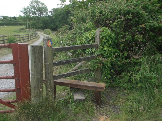
Image: © eswales Taken: 15 Jun 2022
This stile lies on a stage of the Wales Coast Path between the south of Kenfig Burrows and Margam that’s an alternative to the one which passes over Margam Moors. Like the latter stage, it’s marked ‘Wales Coast Path’ on Ordnance Survey Maps. The path over Margam Moors is known to be liable to flooding, and it seems likely that the stage through Pyle serves as a standby to be used when conditions make the closer-to-the-coast preferred route via Margam Moors unusable. The track on which the stile is situated is classed as a public footpath.
Images are licensed for reuse under creativecommons.org/licenses/by-sa/2.0
Image Location
Latitude
51.533515
Longitude
-3.704066