Sutton Park - Towpath
Introduction
The photograph on this page of Sutton Park - Towpath by Colin Smith as part of the Geograph project.
The Geograph project started in 2005 with the aim of publishing, organising and preserving representative images for every square kilometre of Great Britain, Ireland and the Isle of Man.

There are currently over 7.5m images from over 14,400 individuals and you can help contribute to the project by visiting https://www.geograph.org.uk
Sutton Park - Towpath
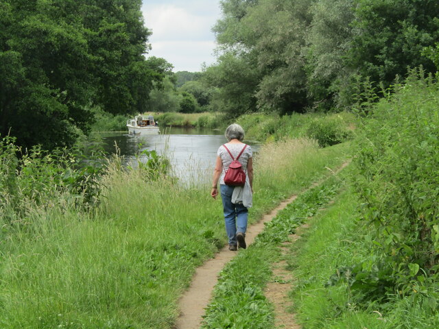
Image: © Colin Smith Taken: 24 Jun 2022
The towpath and the River Wey between Godalming and Weybridge are an important leisure facility for walkers and pleasure boats.
Images are licensed for reuse under creativecommons.org/licenses/by-sa/2.0
Image Location


Leaflet Map data © OpenStreetMap
Latitude
51.265743
Longitude
-0.543704