A road junction on the B188
Introduction
The photograph on this page of A road junction on the B188 by Robert Edwards as part of the Geograph project.
The Geograph project started in 2005 with the aim of publishing, organising and preserving representative images for every square kilometre of Great Britain, Ireland and the Isle of Man.

There are currently over 7.5m images from over 14,400 individuals and you can help contribute to the project by visiting https://www.geograph.org.uk
A road junction on the B188
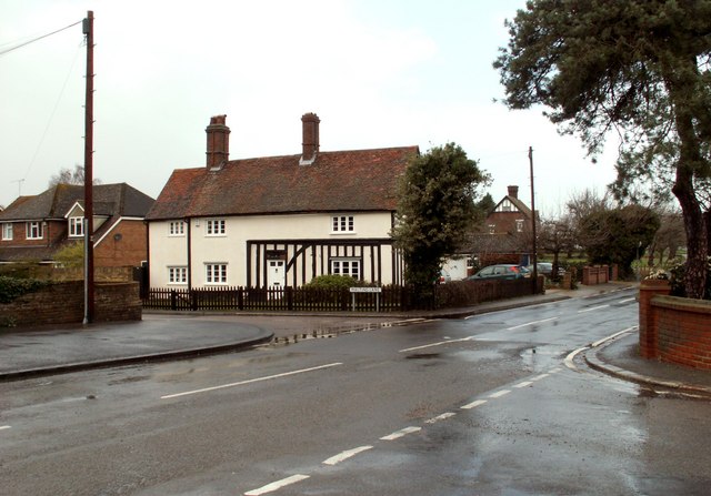
Image: © Robert Edwards Taken: 10 Mar 2008
The photo was taken from the end of Prince Charles Avenue. The main road is Conways Road, the B188, and the turning by the old house is Malting Lane.
Images are licensed for reuse under creativecommons.org/licenses/by-sa/2.0
Image Location


Leaflet Map data © OpenStreetMap
Latitude
51.515326
Longitude
0.36879