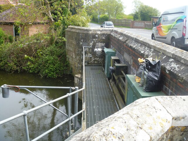
Pevensey features [3]
Introduction
The photograph on this page of Pevensey features [3] by Michael Dibb as part of the Geograph project.
The Geograph project started in 2005 with the aim of publishing, organising and preserving representative images for every square kilometre of Great Britain, Ireland and the Isle of Man.
There are currently over 7.5m images from over 14,400 individuals and you can help contribute to the project by visiting https://www.geograph.org.uk

Image: © Michael Dibb Taken: 4 May 2022
Pevensey Bridge carries the A259 over Pevensey Haven. The bridge dates from 1675. The bridge was widened on the south side in 1816 in brick. Widened again in 1933 on the north side (seen here) in brick faced with ashlar. See also Image Listed, grade II, with details at: https://historicengland.org.uk/listing/the-list/list-entry/1043078 Now a village, the former town of Pevensey is set some five miles (8 km) northeast of Eastbourne, and about one mile inland from Pevensey Bay where the Normans landed in 1066. The village is located on a spur of land that was a peninsula that projected into a tidal lagoon, now reclaimed marshland. In 1207 Pevensey was granted a royal charter and was governed by Pevensey Corporation which was dissolved in 1886 and the town lost its borough status.

