Footpath in woodland at Kenfig Hill
Introduction
The photograph on this page of Footpath in woodland at Kenfig Hill by eswales as part of the Geograph project.
The Geograph project started in 2005 with the aim of publishing, organising and preserving representative images for every square kilometre of Great Britain, Ireland and the Isle of Man.

There are currently over 7.5m images from over 14,400 individuals and you can help contribute to the project by visiting https://www.geograph.org.uk
Footpath in woodland at Kenfig Hill
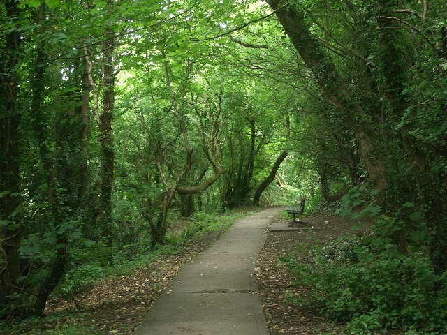
Image: © eswales Taken: 15 Jun 2022
The image shows part of a concrete walkway which runs from the western end of New Road to a point on National Cycle Route 4 a short distance behind the camera. It is (part of) a public footpath for much of its length although at this stage, maps suggest, does not have that status.
Images are licensed for reuse under creativecommons.org/licenses/by-sa/2.0
Image Location
Latitude
51.535068
Longitude
-3.683649