North on Sandygate, Kingsteignton
Introduction
The photograph on this page of North on Sandygate, Kingsteignton by Robin Stott as part of the Geograph project.
The Geograph project started in 2005 with the aim of publishing, organising and preserving representative images for every square kilometre of Great Britain, Ireland and the Isle of Man.

There are currently over 7.5m images from over 14,400 individuals and you can help contribute to the project by visiting https://www.geograph.org.uk
North on Sandygate, Kingsteignton
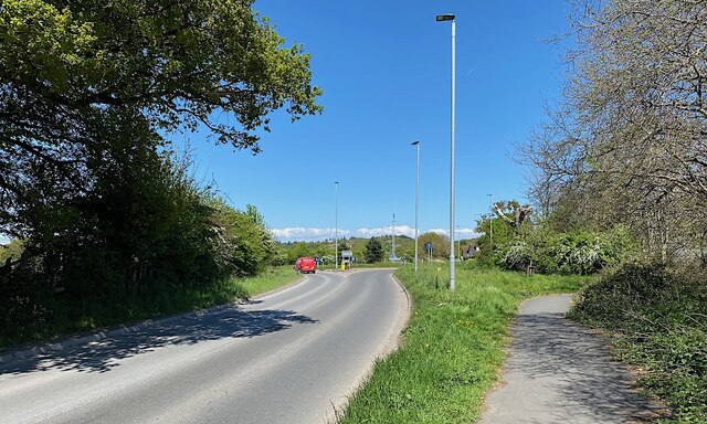
Image: © Robin Stott Taken: 26 Apr 2022
Ahead is the roundabout giving access to the rerouted B3193 Clay Pits Way, opened (according to the SABRE website) in November 2014. Other roads accessed are Strap Lane and Lower Sandygate.
Images are licensed for reuse under creativecommons.org/licenses/by-sa/2.0
Image Location
Latitude
50.559409
Longitude
-3.601616