The Ferrers Centre, Staunton Harold
Introduction
The photograph on this page of The Ferrers Centre, Staunton Harold by David Robinson as part of the Geograph project.
The Geograph project started in 2005 with the aim of publishing, organising and preserving representative images for every square kilometre of Great Britain, Ireland and the Isle of Man.

There are currently over 7.5m images from over 14,400 individuals and you can help contribute to the project by visiting https://www.geograph.org.uk
The Ferrers Centre, Staunton Harold
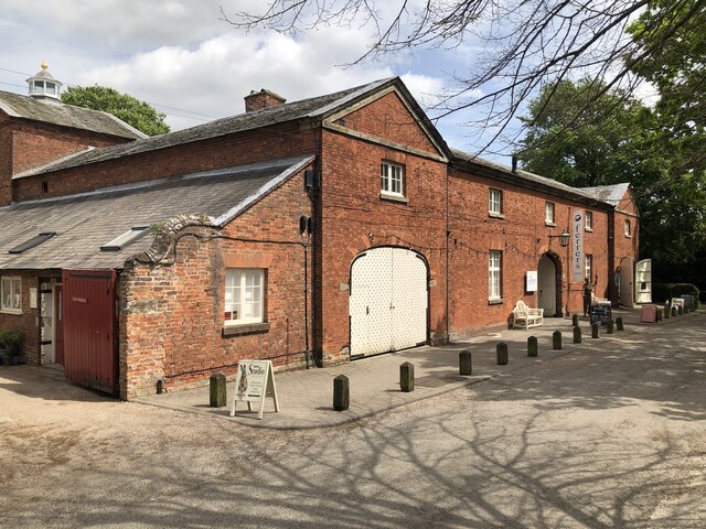
Image: © David Robinson Taken: 13 May 2022
The former stable block of Staunton Harold Hall now hosts a variety of craft shops, studios, and a café.
Images are licensed for reuse under creativecommons.org/licenses/by-sa/2.0
Image Location
Latitude
52.784808
Longitude
-1.440541