Jordan, River Don
Introduction
The photograph on this page of Jordan, River Don by David Morris as part of the Geograph project.
The Geograph project started in 2005 with the aim of publishing, organising and preserving representative images for every square kilometre of Great Britain, Ireland and the Isle of Man.

There are currently over 7.5m images from over 14,400 individuals and you can help contribute to the project by visiting https://www.geograph.org.uk
Jordan, River Don
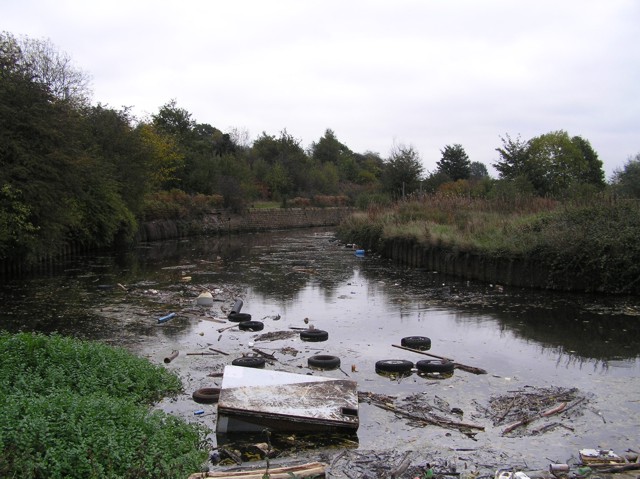
Image: © David Morris Taken: 29 Oct 2005
This is the cut that boaters take to Jordan Top Lock if they don't fancy shooting the weir :-)
Images are licensed for reuse under creativecommons.org/licenses/by-sa/2.0
Image Location


Leaflet Map data © OpenStreetMap
Latitude
53.424162
Longitude
-1.395017