Hare Hill Park Bandstand
Introduction
The photograph on this page of Hare Hill Park Bandstand by Kevin Waterhouse as part of the Geograph project.
The Geograph project started in 2005 with the aim of publishing, organising and preserving representative images for every square kilometre of Great Britain, Ireland and the Isle of Man.

There are currently over 7.5m images from over 14,400 individuals and you can help contribute to the project by visiting https://www.geograph.org.uk
Hare Hill Park Bandstand
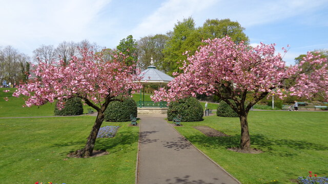
Image: © Kevin Waterhouse Taken: 8 May 2016
The bandstand was one of the features erected when Hare Hill became a public park in the 1900's
Images are licensed for reuse under creativecommons.org/licenses/by-sa/2.0
Image Location
Latitude
53.646497
Longitude
-2.097533