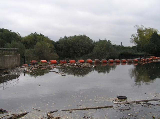
Jordan Weir, River Don
Introduction
The photograph on this page of Jordan Weir, River Don by David Morris as part of the Geograph project.
The Geograph project started in 2005 with the aim of publishing, organising and preserving representative images for every square kilometre of Great Britain, Ireland and the Isle of Man.
There are currently over 7.5m images from over 14,400 individuals and you can help contribute to the project by visiting https://www.geograph.org.uk

Image: © David Morris Taken: 29 Oct 2005
The shot is towards the barrage across the top of Jordan Weir on the Don. It's pretty hefty because this is a navigable stretch of the Don, ENE of Tinsley. As the river skirts around the back of the big sewage works at Tinsley (anyone driving along Tinsley Viaduct on the M1 will know where I mean), the smell can be pretty ripe as indeed it was when I took this picture. Pity any boaters making the trip because there was a lot of debris.

