Dickens Road, Iford, near Bournemouth
Introduction
The photograph on this page of Dickens Road, Iford, near Bournemouth by Malc McDonald as part of the Geograph project.
The Geograph project started in 2005 with the aim of publishing, organising and preserving representative images for every square kilometre of Great Britain, Ireland and the Isle of Man.

There are currently over 7.5m images from over 14,400 individuals and you can help contribute to the project by visiting https://www.geograph.org.uk
Dickens Road, Iford, near Bournemouth
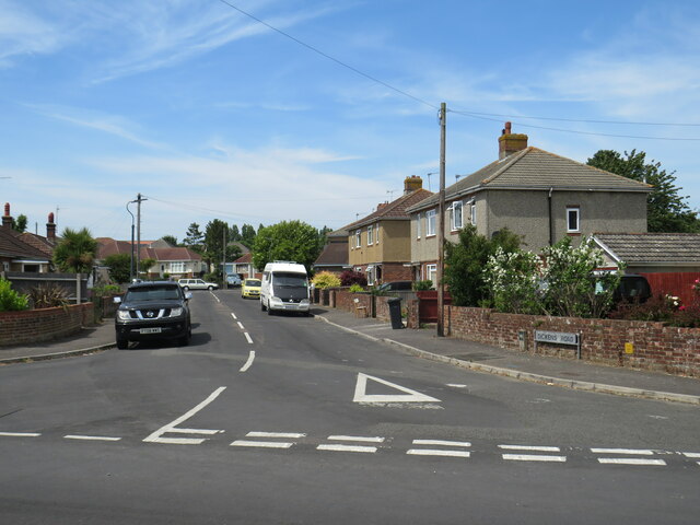
Image: © Malc McDonald Taken: 21 Jun 2022
Dickens Road is a minor residential road in Iford, on the north-eastern outskirts of Bournemouth.
Images are licensed for reuse under creativecommons.org/licenses/by-sa/2.0
Image Location
Latitude
50.736536
Longitude
-1.80255