Caunce Road
Introduction
The photograph on this page of Caunce Road by Bill Boaden as part of the Geograph project.
The Geograph project started in 2005 with the aim of publishing, organising and preserving representative images for every square kilometre of Great Britain, Ireland and the Isle of Man.

There are currently over 7.5m images from over 14,400 individuals and you can help contribute to the project by visiting https://www.geograph.org.uk
Caunce Road
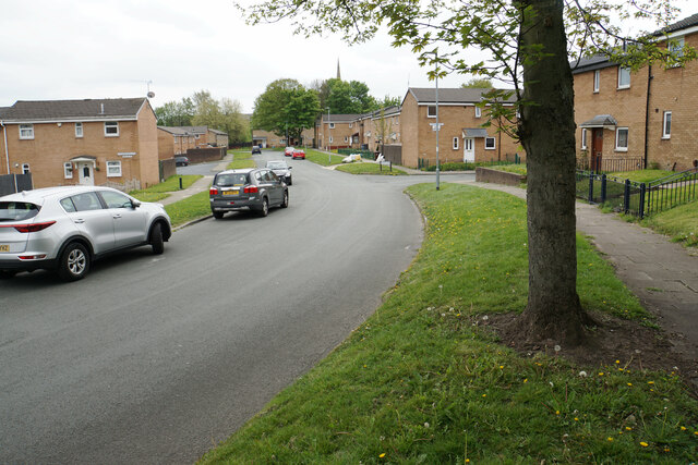
Image: © Bill Boaden Taken: 28 Apr 2022
A residential road not far off the B5238. The spire of st Catherine's Church, Scholes is seen in the background.
Images are licensed for reuse under creativecommons.org/licenses/by-sa/2.0
Image Location
Latitude
53.548402
Longitude
-2.618448