Crossmere Hill Farm
Introduction
The photograph on this page of Crossmere Hill Farm by Stephen Horncastle as part of the Geograph project.
The Geograph project started in 2005 with the aim of publishing, organising and preserving representative images for every square kilometre of Great Britain, Ireland and the Isle of Man.

There are currently over 7.5m images from over 14,400 individuals and you can help contribute to the project by visiting https://www.geograph.org.uk
Crossmere Hill Farm
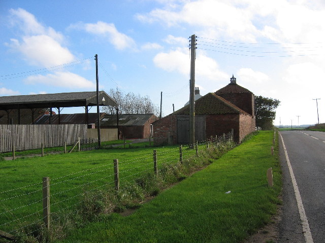
Image: © Stephen Horncastle Taken: 29 Oct 2005
Looking SE on the B1242 which just cuts across the top NE corner of the grid square which is all farmland
Images are licensed for reuse under creativecommons.org/licenses/by-sa/2.0
Image Location


Leaflet Map data © OpenStreetMap
Latitude
53.819242
Longitude
-0.104381