Former Medieval Pale, Ashdown Forest
Introduction
The photograph on this page of Former Medieval Pale, Ashdown Forest by Simon Carey as part of the Geograph project.
The Geograph project started in 2005 with the aim of publishing, organising and preserving representative images for every square kilometre of Great Britain, Ireland and the Isle of Man.

There are currently over 7.5m images from over 14,400 individuals and you can help contribute to the project by visiting https://www.geograph.org.uk
Former Medieval Pale, Ashdown Forest
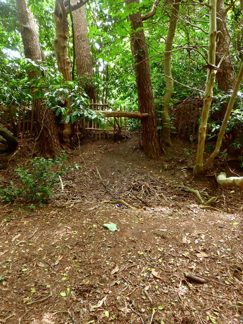
Image: © Simon Carey Taken: 18 Jun 2022
A section survives south of St John's Road that has been utilised as modern house boundaries. The former ditch can also be made out.
Images are licensed for reuse under creativecommons.org/licenses/by-sa/2.0
Image Location
Latitude
51.061924
Longitude
0.147614