The Coopers' Arms, Coopers Lane, St John's, Crowborough
Introduction
The photograph on this page of The Coopers' Arms, Coopers Lane, St John's, Crowborough by Simon Carey as part of the Geograph project.
The Geograph project started in 2005 with the aim of publishing, organising and preserving representative images for every square kilometre of Great Britain, Ireland and the Isle of Man.

There are currently over 7.5m images from over 14,400 individuals and you can help contribute to the project by visiting https://www.geograph.org.uk
The Coopers' Arms, Coopers Lane, St John's, Crowborough
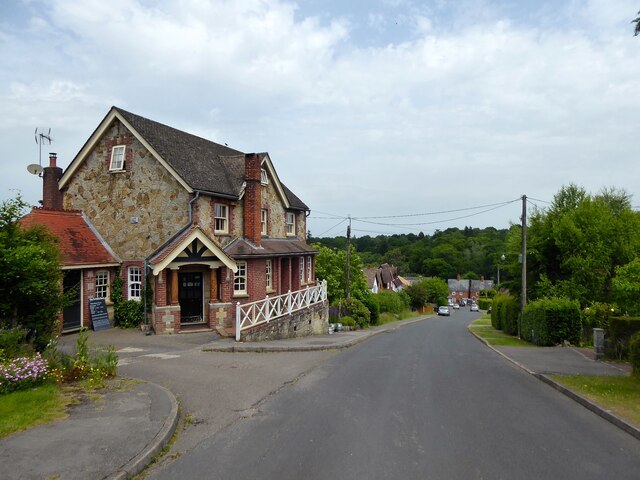
Image: © Simon Carey Taken: 18 Jun 2022
Not marked on Withyham's 1842 tithe map but does appear on the 1874 OS map. Coopers Lane was the original site for the new settlement of Crowborough until the town centre migrated eastwards to The Cross reducing this area to little more than a quiet suburb.
Images are licensed for reuse under creativecommons.org/licenses/by-sa/2.0
Image Location
Latitude
51.064572
Longitude
0.150305