The Cumbria Way, Hodden Croft
Introduction
The photograph on this page of The Cumbria Way, Hodden Croft by Adrian Taylor as part of the Geograph project.
The Geograph project started in 2005 with the aim of publishing, organising and preserving representative images for every square kilometre of Great Britain, Ireland and the Isle of Man.

There are currently over 7.5m images from over 14,400 individuals and you can help contribute to the project by visiting https://www.geograph.org.uk
The Cumbria Way, Hodden Croft
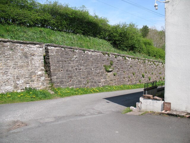
Image: © Adrian Taylor Taken: 10 May 2016
This is where The Cumbria Way divides, the main route goes up the steps through the narrow gap in the wall (next photograph Image) to the B5299 road above, walkers visiting the centre of the village following the Caldbeck Alternative Route follow the road downhill to the right in front of the cottages (next photograph Image).
Images are licensed for reuse under creativecommons.org/licenses/by-sa/2.0
Image Location
Latitude
54.747621
Longitude
-3.053298