Esperley Lane heading south-east
Introduction
The photograph on this page of Esperley Lane heading south-east by Trevor Littlewood as part of the Geograph project.
The Geograph project started in 2005 with the aim of publishing, organising and preserving representative images for every square kilometre of Great Britain, Ireland and the Isle of Man.

There are currently over 7.5m images from over 14,400 individuals and you can help contribute to the project by visiting https://www.geograph.org.uk
Esperley Lane heading south-east
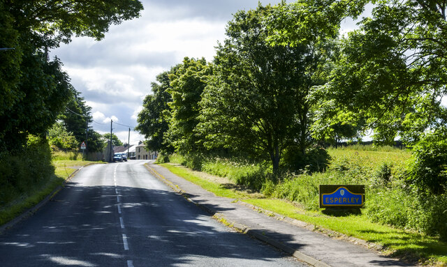
Image: © Trevor Littlewood Taken: 22 Jun 2022
The road is approaching the small settlement at Esperley as indicated by the blue and yellow road sign. On its maps, the OS favours the name Esperley Lane Ends for the village.
Images are licensed for reuse under creativecommons.org/licenses/by-sa/2.0
Image Location


Leaflet Map data © OpenStreetMap
Latitude
54.614576
Longitude
-1.791551