Offa's Dyke Path
Introduction
The photograph on this page of Offa's Dyke Path by Philip Halling as part of the Geograph project.
The Geograph project started in 2005 with the aim of publishing, organising and preserving representative images for every square kilometre of Great Britain, Ireland and the Isle of Man.

There are currently over 7.5m images from over 14,400 individuals and you can help contribute to the project by visiting https://www.geograph.org.uk
Offa's Dyke Path
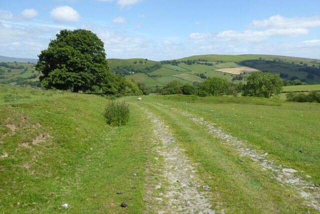
Image: © Philip Halling Taken: 12 Jun 2022
Track followed by Offa's Dyke Path above the village of Gladestry. Hergest Ridge can be seen across the valley in the background.
Images are licensed for reuse under creativecommons.org/licenses/by-sa/2.0
Image Location
Latitude
52.178835
Longitude
-3.120497