East side of Bantham
Introduction
The photograph on this page of East side of Bantham by Derek Harper as part of the Geograph project.
The Geograph project started in 2005 with the aim of publishing, organising and preserving representative images for every square kilometre of Great Britain, Ireland and the Isle of Man.

There are currently over 7.5m images from over 14,400 individuals and you can help contribute to the project by visiting https://www.geograph.org.uk
East side of Bantham
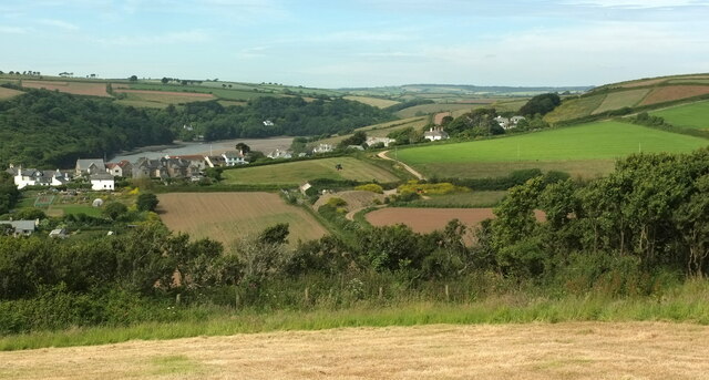
Image: © Derek Harper Taken: 15 Jun 2022
From up on the ridge separating the Buckland Stream valley (foreground) from the Thurlestone Stream valley. Over the next ridge (on which the village sits) is the Avon estuary.
Images are licensed for reuse under creativecommons.org/licenses/by-sa/2.0
Image Location
Latitude
50.277997
Longitude
-3.86654