Canalside flats, Dukes Wharf, Nottingham
Introduction
The photograph on this page of Canalside flats, Dukes Wharf, Nottingham by Christine Johnstone as part of the Geograph project.
The Geograph project started in 2005 with the aim of publishing, organising and preserving representative images for every square kilometre of Great Britain, Ireland and the Isle of Man.

There are currently over 7.5m images from over 14,400 individuals and you can help contribute to the project by visiting https://www.geograph.org.uk
Canalside flats, Dukes Wharf, Nottingham
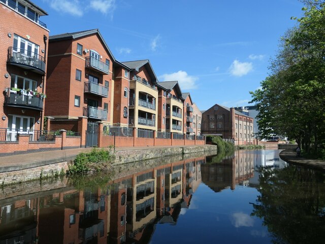
Image: © Christine Johnstone Taken: 5 May 2022
In the 1870s the OS mapped canal basins and timber yards here.
Images are licensed for reuse under creativecommons.org/licenses/by-sa/2.0
Image Location
Latitude
52.947806
Longitude
-1.154627