Whelpo Beck, Caldbeck
Introduction
The photograph on this page of Whelpo Beck, Caldbeck by Adrian Taylor as part of the Geograph project.
The Geograph project started in 2005 with the aim of publishing, organising and preserving representative images for every square kilometre of Great Britain, Ireland and the Isle of Man.

There are currently over 7.5m images from over 14,400 individuals and you can help contribute to the project by visiting https://www.geograph.org.uk
Whelpo Beck, Caldbeck
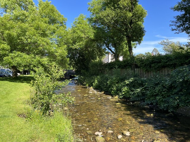
Image: © Adrian Taylor Taken: 20 Jun 2022
Whelpo Beck rises on the slopes of Knott in the northern fells of the Lake District. It merges with Gill Beck just beyond the bridge in the background to form Cald Beck, itself a tributary of the River Caldew.
Images are licensed for reuse under creativecommons.org/licenses/by-sa/2.0
Image Location
Latitude
54.749254
Longitude
-3.052517