Peartree Bridge
Introduction
The photograph on this page of Peartree Bridge by Mark Percy as part of the Geograph project.
The Geograph project started in 2005 with the aim of publishing, organising and preserving representative images for every square kilometre of Great Britain, Ireland and the Isle of Man.

There are currently over 7.5m images from over 14,400 individuals and you can help contribute to the project by visiting https://www.geograph.org.uk
Peartree Bridge
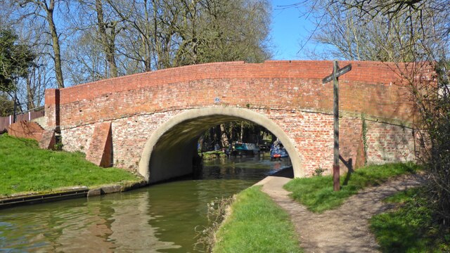
Image: © Mark Percy Taken: 19 Mar 2022
Bridge 88, known as Peartree Bridge, used to take the country lane from The Green in Woughton on the Green westwards into the fields beyond the canal. Today it links The Green with the Eaglestone area of Milton Keynes.
Images are licensed for reuse under creativecommons.org/licenses/by-sa/2.0
Image Location
Latitude
52.029163
Longitude
-0.73098