Farmland, South Weston
Introduction
The photograph on this page of Farmland, South Weston by Andrew Smith as part of the Geograph project.
The Geograph project started in 2005 with the aim of publishing, organising and preserving representative images for every square kilometre of Great Britain, Ireland and the Isle of Man.

There are currently over 7.5m images from over 14,400 individuals and you can help contribute to the project by visiting https://www.geograph.org.uk
Farmland, South Weston
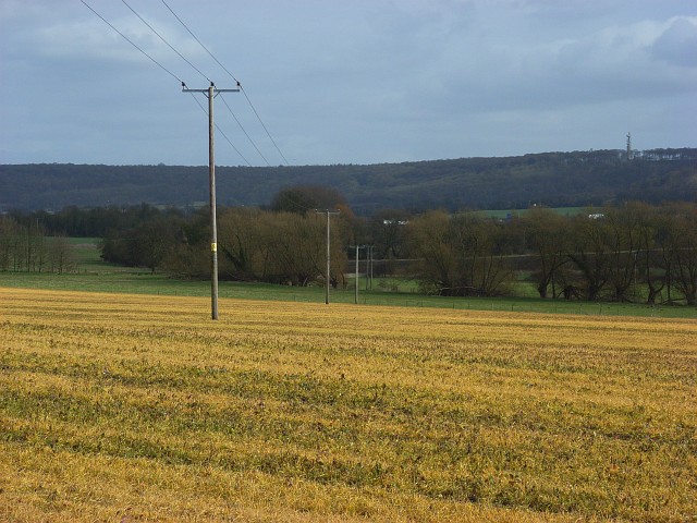
Image: © Andrew Smith Taken: 1 Mar 2008
Looking down from Salt Lane. Weed-killer has been applied and given this arable land is yellow appearance. At the bottom of the hill is a young stream that flows west to Chalgrove. Above the Chiltern scarp is the mast near Stokenchurch.
Images are licensed for reuse under creativecommons.org/licenses/by-sa/2.0
Image Location
Latitude
51.679986
Longitude
-0.98607