Farmland, Steep
Introduction
The photograph on this page of Farmland, Steep by Andrew Smith as part of the Geograph project.
The Geograph project started in 2005 with the aim of publishing, organising and preserving representative images for every square kilometre of Great Britain, Ireland and the Isle of Man.

There are currently over 7.5m images from over 14,400 individuals and you can help contribute to the project by visiting https://www.geograph.org.uk
Farmland, Steep
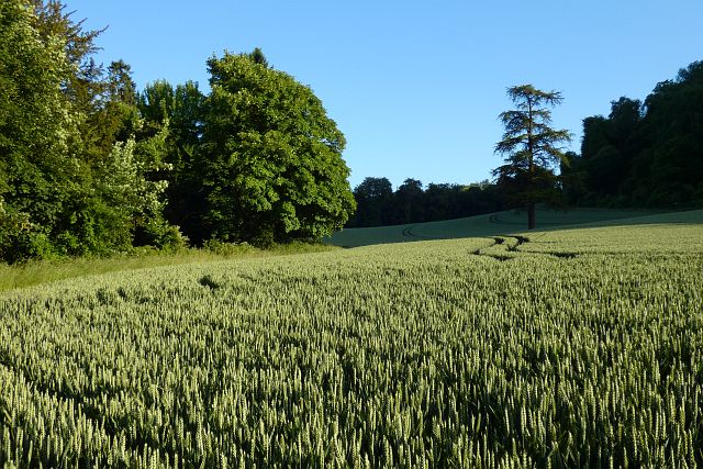
Image: © Andrew Smith Taken: 12 Jun 2022
Wheat beneath the Ashford Hangers is rapidly disappearing into the deep shadow cast by the steep hillside about 1.5 hours before sunset.
Images are licensed for reuse under creativecommons.org/licenses/by-sa/2.0
Image Location


Leaflet Map data © OpenStreetMap
Latitude
51.030449
Longitude
-0.950393