Lower Marsh
Introduction
The photograph on this page of Lower Marsh by Bill Boaden as part of the Geograph project.
The Geograph project started in 2005 with the aim of publishing, organising and preserving representative images for every square kilometre of Great Britain, Ireland and the Isle of Man.

There are currently over 7.5m images from over 14,400 individuals and you can help contribute to the project by visiting https://www.geograph.org.uk
Lower Marsh
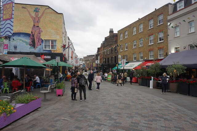
Image: © Bill Boaden Taken: 26 May 2022
A pedestrianised street near Waterloo which is trying to become more trendy as an eating destination.
Images are licensed for reuse under creativecommons.org/licenses/by-sa/2.0
Image Location
Latitude
51.501557
Longitude
-0.111164