Benchmark on Chetwynd Road
Introduction
The photograph on this page of Benchmark on Chetwynd Road by Anthony Rowley as part of the Geograph project.
The Geograph project started in 2005 with the aim of publishing, organising and preserving representative images for every square kilometre of Great Britain, Ireland and the Isle of Man.

There are currently over 7.5m images from over 14,400 individuals and you can help contribute to the project by visiting https://www.geograph.org.uk
Benchmark on Chetwynd Road
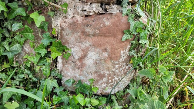
Image: © Anthony Rowley Taken: 15 Jun 2022
The Ordnance Survey Benchmark cut into a sandstone gatepost on the Chetwynd Road between Edgmond and Chetwynd Church. It was last verified by the OS in 1961
Images are licensed for reuse under creativecommons.org/licenses/by-sa/2.0
Image Location


Leaflet Map data © OpenStreetMap
Latitude
52.785548
Longitude
-2.397619