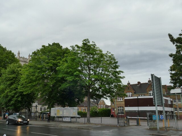
Cardinal Heenan Centre, Ilford High Road
Introduction
The photograph on this page of Cardinal Heenan Centre, Ilford High Road by Stephen Craven as part of the Geograph project.
The Geograph project started in 2005 with the aim of publishing, organising and preserving representative images for every square kilometre of Great Britain, Ireland and the Isle of Man.
There are currently over 7.5m images from over 14,400 individuals and you can help contribute to the project by visiting https://www.geograph.org.uk

Image: © Stephen Craven Taken: 30 May 2022
The High Road offers a wide range of places of worship - Church of England, Roman Catholic, Baptist, Spiritualist, Pentecostal and Evangelical all within a kilometre. The 1962 OS map shows the older building behind as St Peter & St Paul's School, obviously connected to the church of the same name whose tower can be seen over the trees to the left Image Along with the prefabricated building in the former playground it now forms a community centre.

