National Cycle Route 4 at Kenfig Hill
Introduction
The photograph on this page of National Cycle Route 4 at Kenfig Hill by eswales as part of the Geograph project.
The Geograph project started in 2005 with the aim of publishing, organising and preserving representative images for every square kilometre of Great Britain, Ireland and the Isle of Man.

There are currently over 7.5m images from over 14,400 individuals and you can help contribute to the project by visiting https://www.geograph.org.uk
National Cycle Route 4 at Kenfig Hill
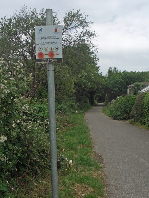
Image: © eswales Taken: 15 Jun 2022
Part of an off-road section of the long distance cycle route at Kenfig Hill. According to the sign in the foreground, the stretch of cycle track seen is also a permissive bridleway. In common with the rest of the off-road section of National Cycle Route 4 at Kenfig Hill, the stretch of cycle path seen runs along the course of the former Dyffryn Llynfi & Porthcawl Railway.
Images are licensed for reuse under creativecommons.org/licenses/by-sa/2.0
Image Location
Latitude
51.53372
Longitude
-3.6836