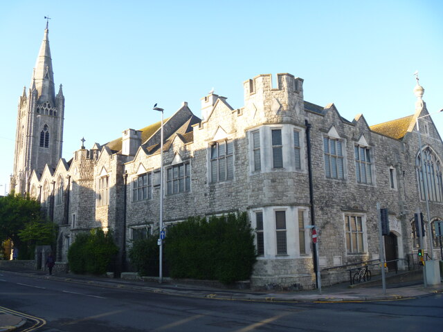
Eastbourne churches [13]
Introduction
The photograph on this page of Eastbourne churches [13] by Michael Dibb as part of the Geograph project.
The Geograph project started in 2005 with the aim of publishing, organising and preserving representative images for every square kilometre of Great Britain, Ireland and the Isle of Man.
There are currently over 7.5m images from over 14,400 individuals and you can help contribute to the project by visiting https://www.geograph.org.uk

Image: © Michael Dibb Taken: 5 May 2022
Within the block bounded by Pevensey Road, Langley Road and Susan's Road stands the Central Methodist church, the church hall and church school, all dated 1907. The church has its main entrance in Pevensey Road, the hall has its main entrance in Langney Road and both have elevations along Susan's Road. Both church and hall are built in the Decorated style of coursed rubble stone with ashlar dressings under a renewed pantile roof. Some original internal features remain. See also Image and Image Listed, grade II, with details at: https://historicengland.org.uk/listing/the-list/list-entry/1268358 Eastbourne is a town and seaside resort on the south coast of East Sussex, some 54 miles south of London and about 19 miles east of Brighton. Although there is evidence of settlement from the Stone Age onwards, Eastbourne remained an area of small rural settlements until the railway arrived in 1849. A resort, built "for gentlemen by gentlemen", was planned and the town's growth accelerated from a population of less than 4,000 in 1851 to nearly 35,000 by 1891. Tourism is a large and important part of the economy of the town.

