The Federation of Tubbenden Schools
Introduction
The photograph on this page of The Federation of Tubbenden Schools by Ian Capper as part of the Geograph project.
The Geograph project started in 2005 with the aim of publishing, organising and preserving representative images for every square kilometre of Great Britain, Ireland and the Isle of Man.

There are currently over 7.5m images from over 14,400 individuals and you can help contribute to the project by visiting https://www.geograph.org.uk
The Federation of Tubbenden Schools
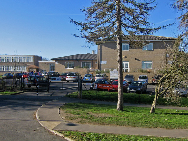
Image: © Ian Capper Taken: 8 Feb 2008
Originally opened as Tubbenden Primary School in 1957, an increase in numbers led to a separation into two schools in 1963, one for Juniors and the other for Infants, with separate buildings on the same site. In 2004, events turned almost full circle, with a decision taken by the two schools to work more closely in a partnership known as a Federation. This photo shows the Tubbenden Lane entrance to the schools. Post script: In September 2009, the two schools once again merged to form a single Primary School. On 1 March 2012 the school became an Academy.
Images are licensed for reuse under creativecommons.org/licenses/by-sa/2.0
Image Location
Latitude
51.365499
Longitude
0.079901