Mill Plat
Introduction
The photograph on this page of Mill Plat by Bill Boaden as part of the Geograph project.
The Geograph project started in 2005 with the aim of publishing, organising and preserving representative images for every square kilometre of Great Britain, Ireland and the Isle of Man.

There are currently over 7.5m images from over 14,400 individuals and you can help contribute to the project by visiting https://www.geograph.org.uk
Mill Plat
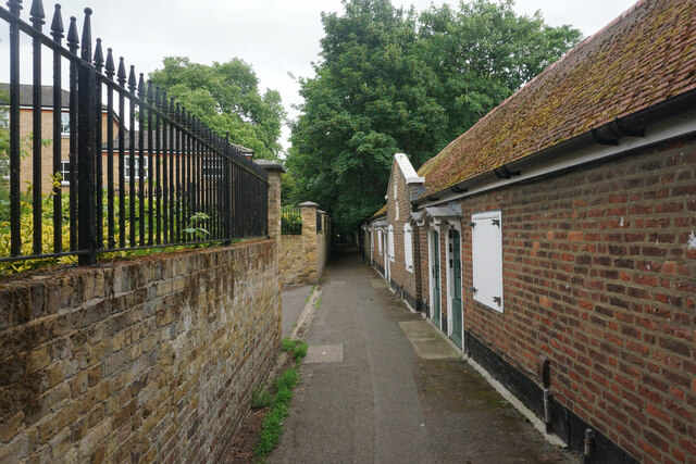
Image: © Bill Boaden Taken: 26 May 2022
A walkway linking Twickenham Road with the River Thames in Isleworth. On the right are Sir Thomas Ingrams Almshouses, now facing a lot of new development to the left.
Images are licensed for reuse under creativecommons.org/licenses/by-sa/2.0
Image Location
Latitude
51.47099
Longitude
-0.324661