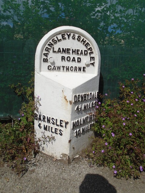
Old milestone
Introduction
The photograph on this page of Old milestone by Chris Minto as part of the Geograph project.
The Geograph project started in 2005 with the aim of publishing, organising and preserving representative images for every square kilometre of Great Britain, Ireland and the Isle of Man.
There are currently over 7.5m images from over 14,400 individuals and you can help contribute to the project by visiting https://www.geograph.org.uk

Image: © Chris Minto Taken: 12 Jun 2022
The road towards Shepley Lane Head and Holmfirth used to wend its way through Cawthorne village. In the 20C a by-pass was built. Some years ago this stone was found buried, perhaps from the 1940 Government instructions, but set up and in 2015 was repainted. Although set into the pavement all the legends can be read. The herb robert makes an attractive addition. It is Grade II listed 1151767.

