Michael Fields, Forest Row
Introduction
The photograph on this page of Michael Fields, Forest Row by Simon Carey as part of the Geograph project.
The Geograph project started in 2005 with the aim of publishing, organising and preserving representative images for every square kilometre of Great Britain, Ireland and the Isle of Man.

There are currently over 7.5m images from over 14,400 individuals and you can help contribute to the project by visiting https://www.geograph.org.uk
Michael Fields, Forest Row
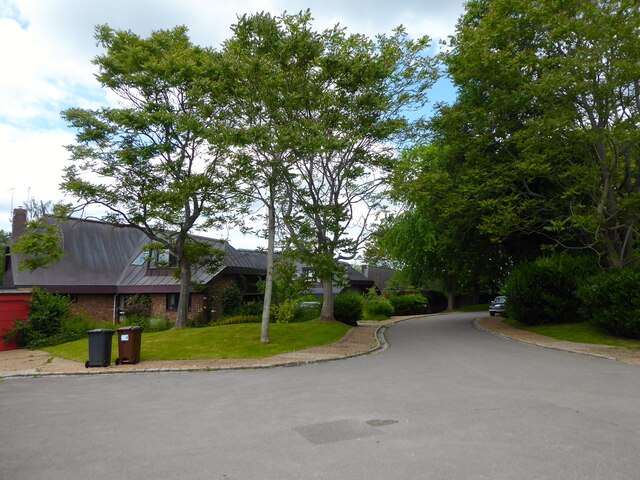
Image: © Simon Carey Taken: 12 Jun 2022
A cul de sac off Gage Ridge and part of development built on the northern part of Kidbrooke Park, whose previous owners are recorded in the road names.
Images are licensed for reuse under creativecommons.org/licenses/by-sa/2.0
Image Location
Latitude
51.092454
Longitude
0.029495