Lammas Way, Ampthill
Introduction
The photograph on this page of Lammas Way, Ampthill by Mark Anderson as part of the Geograph project.
The Geograph project started in 2005 with the aim of publishing, organising and preserving representative images for every square kilometre of Great Britain, Ireland and the Isle of Man.

There are currently over 7.5m images from over 14,400 individuals and you can help contribute to the project by visiting https://www.geograph.org.uk
Lammas Way, Ampthill
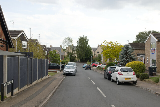
Image: © Mark Anderson Taken: 2 Jun 2022
Looking down Lammas Way with the new Poppy Drive development visible at the bottom of the hill.
Images are licensed for reuse under creativecommons.org/licenses/by-sa/2.0
Image Location
Latitude
52.021245
Longitude
-0.493793