Lyneham Methodist Church
Introduction
The photograph on this page of Lyneham Methodist Church by Neil Owen as part of the Geograph project.
The Geograph project started in 2005 with the aim of publishing, organising and preserving representative images for every square kilometre of Great Britain, Ireland and the Isle of Man.

There are currently over 7.5m images from over 14,400 individuals and you can help contribute to the project by visiting https://www.geograph.org.uk
Lyneham Methodist Church
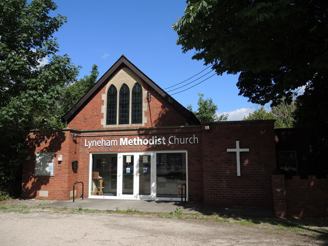
Image: © Neil Owen Taken: 28 May 2022
Also known as St Andrew's, it is close to the roundabout on The Green. Above the entrance is a carved legend: 1934, Gaisford Memorial Methodist Church'. See Image] for a close look at a caring aspect.
Images are licensed for reuse under creativecommons.org/licenses/by-sa/2.0
Image Location
Latitude
51.513072
Longitude
-1.971707